
Walk a Rock Island Street
A sound Rock Island street directory search treats an address as a chain of keys. The county map establishes the current street spelling, address point, parcel outline, and PIN. PIN means parcel identification number. The assessment record then shows the situs address, the physical location of the parcel, along with the tax-bill name and mailing details. Those fields can differ. The Recorder's index supplies recorded parties and the legal description, while historical directories can identify an occupant who never owned the land.
- Enter the street address in the Rock Island County GIS app. Copy the returned PIN, situs address, ZIP clue, and legal-description text without changing their format.
- Open the county wEdge Assessment Search. Use the PIN first, then compare the current site address, tax-bill party, mailing address, sale fields, and prior PIN.
- Move along the same block in GIS. Click parcels one at a time and turn on Streets and AddressPoints instead of assuming one search result covers the whole street.
- Use each parcel or legal description in Tapestry, Laredo, or at the Recorder counter. Follow grantors and grantees, the parties transferring land, through the deed chain.
- For a named person, use the Illinois voter form only as a one-person confirmation. For past occupants, consult the library's city directories by address and year.
This order reduces false matches. An owner may receive the tax bill elsewhere, an address may include several units, and a directory may list only one head of household. Keep the search date and exact query with each result.
Rock Island Street Search Fields
The official Assessment Search entry page leads to the free wEdge parcel inquiry. The form requires at least one criterion and recommends a PIN. Address search is still useful when a Rock Island street directory request begins with only a house number and street. The portal is for individual public inquiry and bars automated retrieval.
| Search control | Input | Useful detail |
|---|---|---|
| PIN number | Text | Accepted with or without dashes and recommended by the portal. |
| Address | House number, street name, type, city | Street type can distinguish ST, RD, or AVE. |
| Owner name | Tax-bill name | It is an assessment party, not proof of occupancy. |
| Sale range | Minimum and maximum price or date | Date format is MM/DD/YYYY. |
| Advanced filters | Township, tax district, property class | Useful when a street name repeats across the county. |
| Tax years | All years or low/high range | The portal does not state its earliest available year. |
Results can include the present and previous PIN, site address, legal text, tax-bill and mailing fields, values, sale facts, jurisdiction, zoning, structure type, year built, and square footage. These are working assessment records. Only the custodian can certify them.
The official assessment gateway is visible in the captured view below. It helps confirm that the user has reached the county route before entering an address.
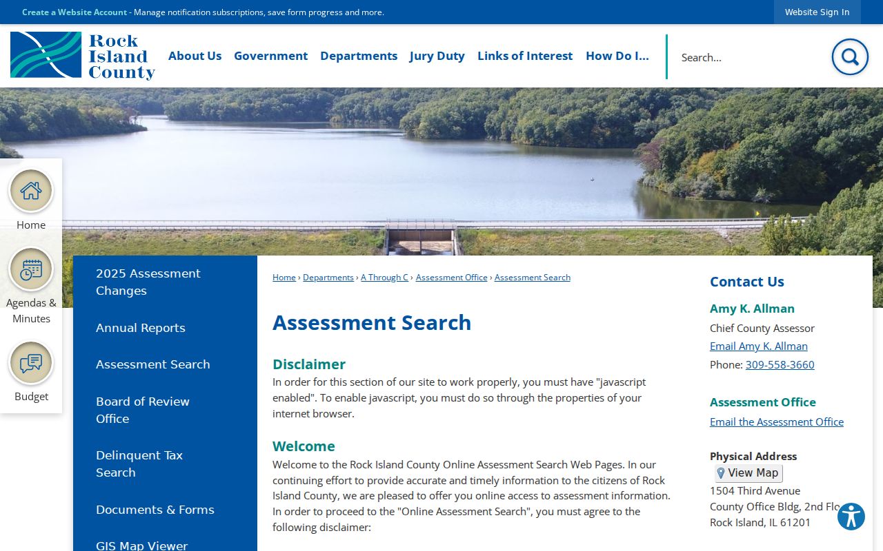
The screenshot connects the street search to the official county page; the linked wEdge system carries the actual parcel criteria and results.
Browse Rock Island Streets in GIS
The Rock Island County Find Parcels map accepts an address, owner or tax-bill name, or a PIN without dashes. It is the best whole-street tool because the user can pan down a block, click each parcel, and see how address points connect to parcel lines. County GIS maintains more than 65,000 parcel boundaries as well as street centerlines and E911 address data for five dispatch centers.
Turn on only the layers needed for the question. Parcels and AddressPoints establish location. Streets help with segments and address ranges. Aerial, zoning, floodplain, precinct, township, district, and contour layers add geographic context. The public street service showed a 2,000-record limit, so a data query should be narrowed and paged. A map popup may show a tax-bill clue, but it is not a certified deed or proof that the named party lives there.
The county's GIS Department page identifies the office responsible for parcel mapping and addressing.
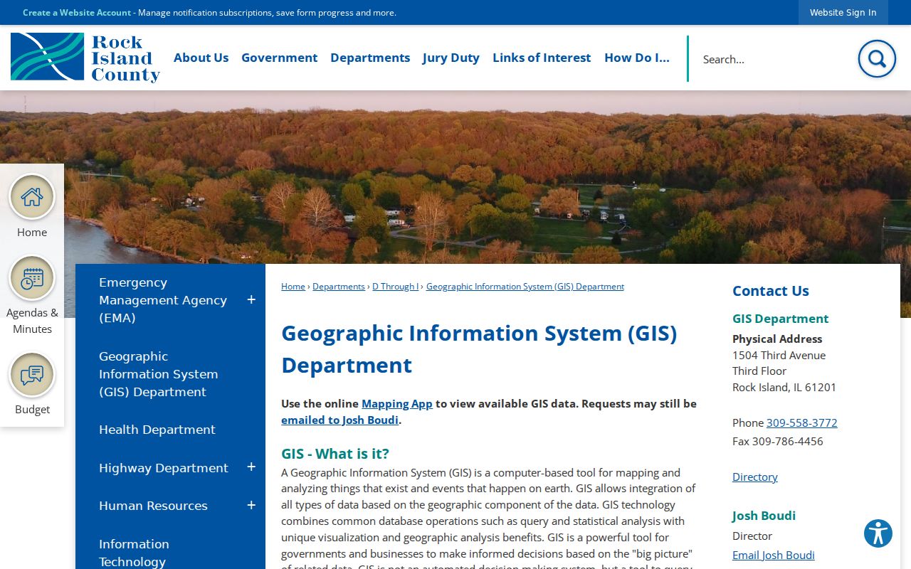
The department page is the fallback for map or addressing questions that cannot be resolved from a viewer popup.
Map tip. Search the no-dash PIN copied from GIS in wEdge, and preserve any previous PIN so older records remain connected.
Rock Island Street Address Keys
Records that appear to share one address may describe four different things. A current street directory search stays reliable only when each key is labeled. Modern GIS does not retroactively fix wording in an old deed or directory.
- Parcel
- A mapped tract identified by a PIN. One street address may relate to more than one parcel or unit.
- Situs address
- The physical location recorded for the parcel, which may differ from the tax-bill mailing address.
- Plat
- A recorded map of lots, blocks, streets, and subdivisions used with deed descriptions.
- Criss-cross directory
- An address-ordered section that lets a reader work from a street and house number toward a listed occupant.
A legal description, such as subdivision lot and block or metes-and-bounds text, remains the strongest bridge when the street label changed. Metes and bounds describes land by measured courses and boundary points.
Rock Island Records by Street
No single public roll provides every Rock Island resident at an address. The street directory is assembled by matching record sets while respecting the limits of each custodian.
| Address source | Street evidence | How to reach it | Limit |
|---|---|---|---|
| GIS parcels and address points | PIN, situs, ZIP clue, adjacent tracts, map layers | County map, popup, attribute table, or public layer | Not a household roll or certified title |
| wEdge assessment | Tax-bill party, mailing address, values, sales, structure fields | Free parcel, advanced, or mobile-home search | Not proof of who occupies the site |
| Recorded instruments | Deeds, mortgages, releases, liens, plats, parties, legal text | Tapestry, Laredo, counter, mail, or fax | Older tract coverage may not be complete online |
| Voter confirmation | One person's registration match after full identity input | State form or County Elections help | No open street or block roster |
| Historical directories | Address-to-occupant or household-head entry | Library print, microfilm, or licensed database | Not current and may omit household members |
| City records | Non-exempt permit or civic material tied to an address | Tyler route or written City Clerk FOIA request | No verified open permit-results index |
The parcel number joins the map to assessment and deed evidence. The street string ties older books to the modern map, while a person-level form can only test a name already known. A missing result is not proof of absence. It may reflect spelling, municipality, tax year, protected status, a portal outage, or an undigitized book.
Rock Island Deed Records by Block
The Rock Island County Recorder of Deeds holds land records reaching to the mid-1800s. Search Tapestry EON for public vendor access or Laredo for subscription searching. A useful query begins with the parcel's legal description, then checks grantor, grantee, recorded date, document type, subdivision, lot, block, and parcel fields. Consideration means the value stated in the recorded instrument, not necessarily the full market price.
Online access is broad but not assured for every old image or tract index. The county's digitization work described access back to 1835, yet the current completeness of each book must be confirmed. If the vendor view fails, use the Recorder counter, mail, or fax route. The office can discuss copy procedure by phone, but it will not provide ownership, sale price, liens, easements, lot size, or legal description through a phone request.
The Recorder's official page is the stable starting point when a vendor link or account route changes.
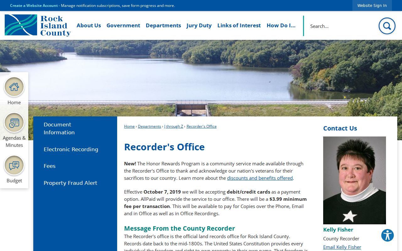
Use its contact details to verify current counter hours and the correct channel for the instrument you need.
The county also publishes document and copy instructions for searches that must move beyond an online index.
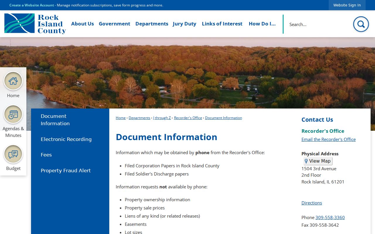
Those instructions connect an index hit to a counter, mail, or fax copy request without assuming every image is available online.
That fallback matters for a street-by-street search. Collect PINs and legal descriptions in GIS, then query one tract at a time. A deed connects recorded owners across time; it does not name every occupant.
Rock Island Voter Lookup by Address
The Illinois Registration Lookup cannot browse Rock Island voters down a street. It first requires a first name, last name, birth date, and five-digit ZIP. After the ZIP validates, the form asks for street number and street name. That sequence makes it a private one-person check, not a way to create a block roster.
Rock Island County Elections handles local registration questions and request channels. Illinois law restricts the computerized file and redacts fields such as street number, full birth date, Social Security number, phone, and email in specified public access. Protected voters are handled differently. Precinct layers in GIS can explain election geography, but they do not identify the households on a street.
Note: A failed voter match may reflect wrong identity data, protected handling, or portal status, so it cannot prove that a person moved.
Historic Rock Island Street Clues
The Rock Island Public Library Historical Room reports city directories from 1855 to the present. Address-order or criss-cross sections let a researcher inspect an old street number, but the entries may list only a household head. Copy the year, street spelling, initials, and the printed markers. In the verified 1882–1892 collection, h means home, r residence, and b boarder.
Early searches may require Stephenson, the place name used from 1835 to 1841 before Rock Island. No official source verified a citywide street-renumbering year, so do not force an old number onto today's grid. Compare cross streets, nearby institutions, deed legal text, and the free 1892 Sanborn sheets. The full historical shelf belongs on the Rock Island city directory page; here, it serves as the address-to-person layer after parcel and deed work.
Rock Island Street Request Gaps
The City Planning and Zoning Division uses a Tyler workflow for permits and licenses, but the research did not verify a public owner or results index. Search controls such as Apply and My Work do not prove that all permit history is open for casual browsing. When no portal result exists, make a focused request through the City of Rock Island FOIA process or its City Clerk request form.
Name the address, record type, department, and date range. Illinois FOIA generally calls for a response to an ordinary written request within five business days, subject to an allowed extension and exemptions. A response can include redactions. It also may state that the City does not hold the requested record. That is better evidence than treating an empty web search as proof that no permit or code matter exists.
Limits of Rock Island Street Records
A Rock Island street directory cannot establish everyone who lives inside a dwelling. Assessment records center on parcels and tax bills. Deeds center on recorded interests. Directories may omit people, and current voter access is built for individual verification. Public utility-customer and mail-delivery lists were not found. An apartment field in GIS is an address clue, not a list of residents.
Use a second source before attaching a person to an address. Dates matter. An old deed, tax year, directory volume, or newspaper notice can be accurate for its period and still be wrong as a claim about the present. Address Confidentiality Program participants may use a substitute mailing address, and the program does not make it proper to seek or publish a protected location.
Lawful use. Rock Island address records are for lawful personal research. Never use a street search to stalk, harass, intimidate, or expose a protected person.
A responsible street-by-street result labels each source and its limits. It reports “tax-bill party” or “directory entry,” not “current resident,” unless reliable and current evidence truly supports that statement.