
Rock Island Neighbor Records Compared
A block lookup combines geography, ownership, and voluntary civic information. None of the sources below is a complete resident roll. The county map is best for identifying nearby parcels. The assessment search supplies public parcel and tax clues. City neighborhood pages describe boundaries and associations, while historic directories can show the same block in an earlier period.
| Official or local source | What it reveals around a block | How to use it |
|---|---|---|
| County GIS Find Parcels | Parcel lines, address points, streets, zoning, floodplain, precincts, districts, and aerials | Free map; search one address, then click and pan |
| County Assessment Search | PIN, situs, tax-bill name, sale, class, value, and tax-year fields | Free inquiry portal; not proof of occupancy |
| City Neighborhood Areas | Boundaries, ward, history, plans, programs, facilities, and association information | Public city pages and Planning contact list |
| Illinois voter lookup | Confirmation for one person who supplies all required details | Not browsable as a block roster |
| RIPL historical directories | Past names listed by street and address | Library Historical Room and databases |
Start with the parcel viewer when the question is “what surrounds this home?” Start with a neighborhood page when the question is “which civic area serves this block?” A whole named street requires a wider search, covered in the Rock Island street directory.
Map Rock Island Neighbors Parcel by Parcel
The Rock Island County GIS Find Parcels app searches an address, owner or tax-bill name, or a PIN without dashes. It does not document a one-click buffer or “select all adjacent parcels” tool. The reliable method is manual and easy to audit.
- Search the target address, open its parcel popup, and copy the PIN, situs, ZIP, jurisdiction, and subdivision.
- Zoom until the parcel boundaries are clear. Click the two side lots, then the rear and corner lots.
- Turn on Streets and AddressPoints to distinguish a same-street parcel from one reached by another road.
- Add zoning, floodplain, precinct, township, school, fire, and aerial layers when they explain a boundary.
- Confirm any tax-bill clue in the assessment system before drawing a conclusion.
The county GIS program maintains more than 65,000 parcel boundaries and supports E911 addressing for five dispatch centers. That scale makes the map useful, but a parcel popup remains a land record. It does not prove who sleeps in the home.
See Rock Island's Public Parcel Layer
The county's public parcel feature layer exposes the data behind many map views, including parcel identifiers, situs and jurisdiction fields.
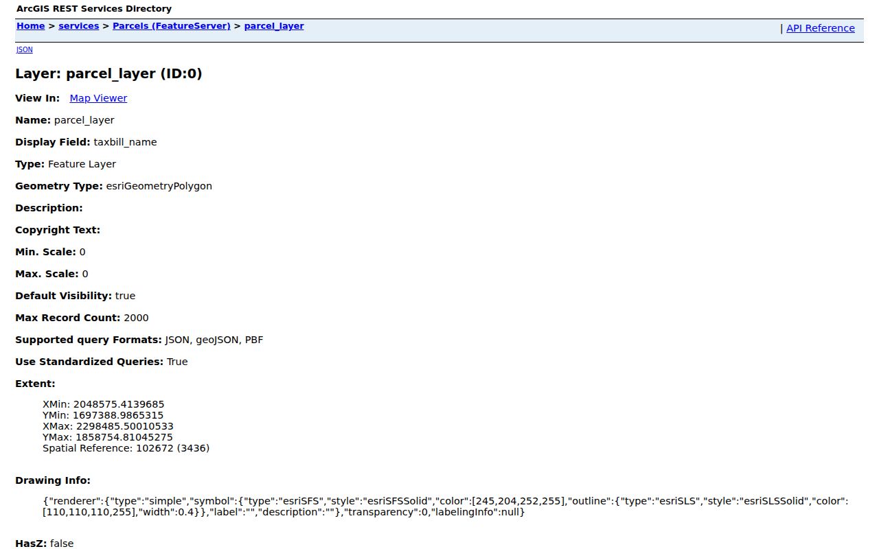
This source is especially useful when a map popup fails to load. A public REST query can confirm parcel geometry and attributes, but it should still be read as a parcel record rather than as a neighbor directory.
Tax Names Are Neighbor Clues
The Rock Island County Assessment Search allows address, owner, PIN, sales, tax district, property class, text, and tax-year searches. Its working data is updated often and carries an accuracy disclaimer. A tax-bill name may belong to an owner who lives elsewhere. The situs address marks the property location; the mailing address marks where notices go.
Apartment buildings, trusts, businesses, and multi-unit parcels make the distinction even more important. One parcel may contain several homes, and one named owner may represent none of the occupants. Label the result “tax-bill name” or “record owner.” Do not relabel it as a present neighbor without an independent, lawful source.
- PIN
- The parcel identification number used to distinguish land records.
- Situs address
- The physical location assigned to the parcel.
- Tax-bill name
- The party listed to receive or bear the tax record, not a confirmed occupant.
- Address point
- A mapped location used for addressing and emergency-response systems.
Rock Island Block Layers Explain Differences
Two homes that look adjacent may sit in different voting precincts, zoning districts, flood areas, or service boundaries. County GIS supplies streets, address points, aerials, zoning, floodplain, municipal and political townships, precincts, school and fire districts, and contour layers. The street data also includes address ranges and left-side and right-side ZIP fields.
Use the layers to explain the block, not to infer private facts about people. A floodplain boundary can clarify why structures differ. A precinct line explains different ballot geography. Historic aerial references can show how the built form changed. This layered view is more sound than a commercial neighbor tool that silently merges parcel, marketing, and old directory data.
Meet Rock Island Neighborhood Areas
The City of Rock Island divides the city into named neighborhood areas and publishes boundaries, photographs, wards, plans, programs, facilities, associations, and historic-register details. Associations are independent groups, not government household rolls. Planning maintains the current association contact list, and the Community Caring Conference is the route named for neighborhood watches and blocks.
KeyStone
Founded in 1994, KeyStone includes Columbia Park, Fairview, Edgewood Park, Brooks' Grove, College Heights, and Park View. The city page provides history and association context, not a member roster.
Greenbush
Greenbush runs from 9th Avenue to the Mississippi River and from 24th Street to 30th Street. It is in Ward 5 and has meetings, a newsletter, a garden, and a fair.
Central
Central includes Chippiannock. Much of its development dates from the 1920s through the 1970s, giving its blocks a distinct physical history.
City materials say neighborhood boundaries are contiguous and can range from about 50 to more than 700 households. That number describes an area, not a public list of its residents.
Browse Rock Island Neighbor Areas
The City's Neighborhood Areas portal is the best official entry point for area names, association information, ward context, and local plans.
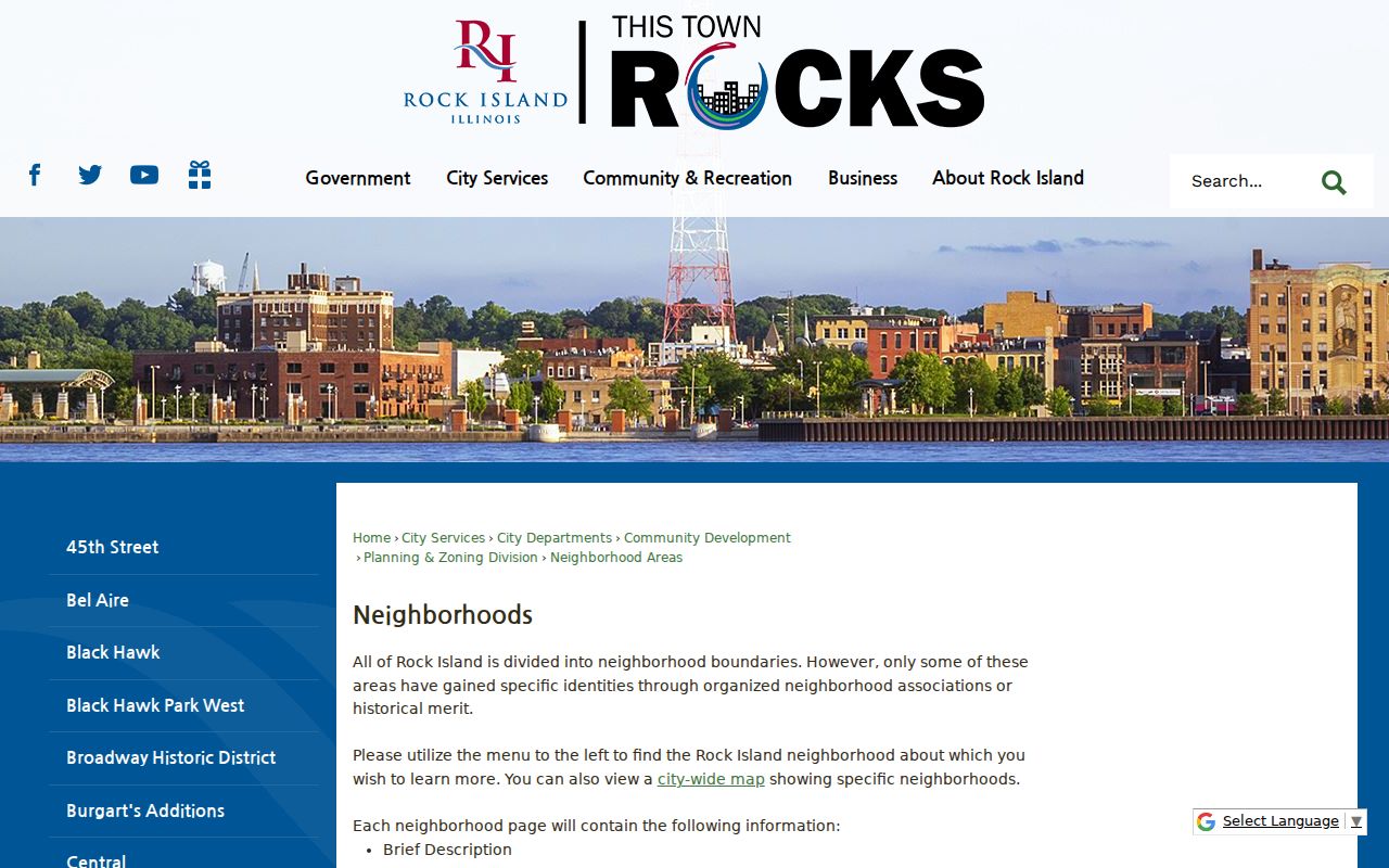
The portal helps answer which named area contains an address. For the latest association contact, follow the Planning route because independent groups and contacts can change.
Rock Island Voters Are Not Browsable
Illinois' online Registration Lookup is built to confirm one person's record. It asks for first name, last name, birth date, and five-digit ZIP, then requires street number and street name after ZIP validation. It cannot be used to browse all registered voters around a Rock Island block.
The full computerized voter file has a fee and statutory use limits. Under 10 ILCS 5/1A-25, sensitive fields are redacted, including street number, full birth date, Social Security number, phone, and email. Registration cards and signatures have separate inspection rules, and protected voters may be concealed. GIS may show a precinct boundary, but that boundary does not open a household list.
Key distinction. Precinct geography is public map context. A downloadable or scraped list of every voter on the block is not the same thing.
Request Rock Island Civic Records
A city record about a street project, planning matter, code issue, or public meeting may be available even when no portal exposes it. The City of Rock Island FOIA page explains the municipal access route, and its electronic form sends a request to the City Clerk.
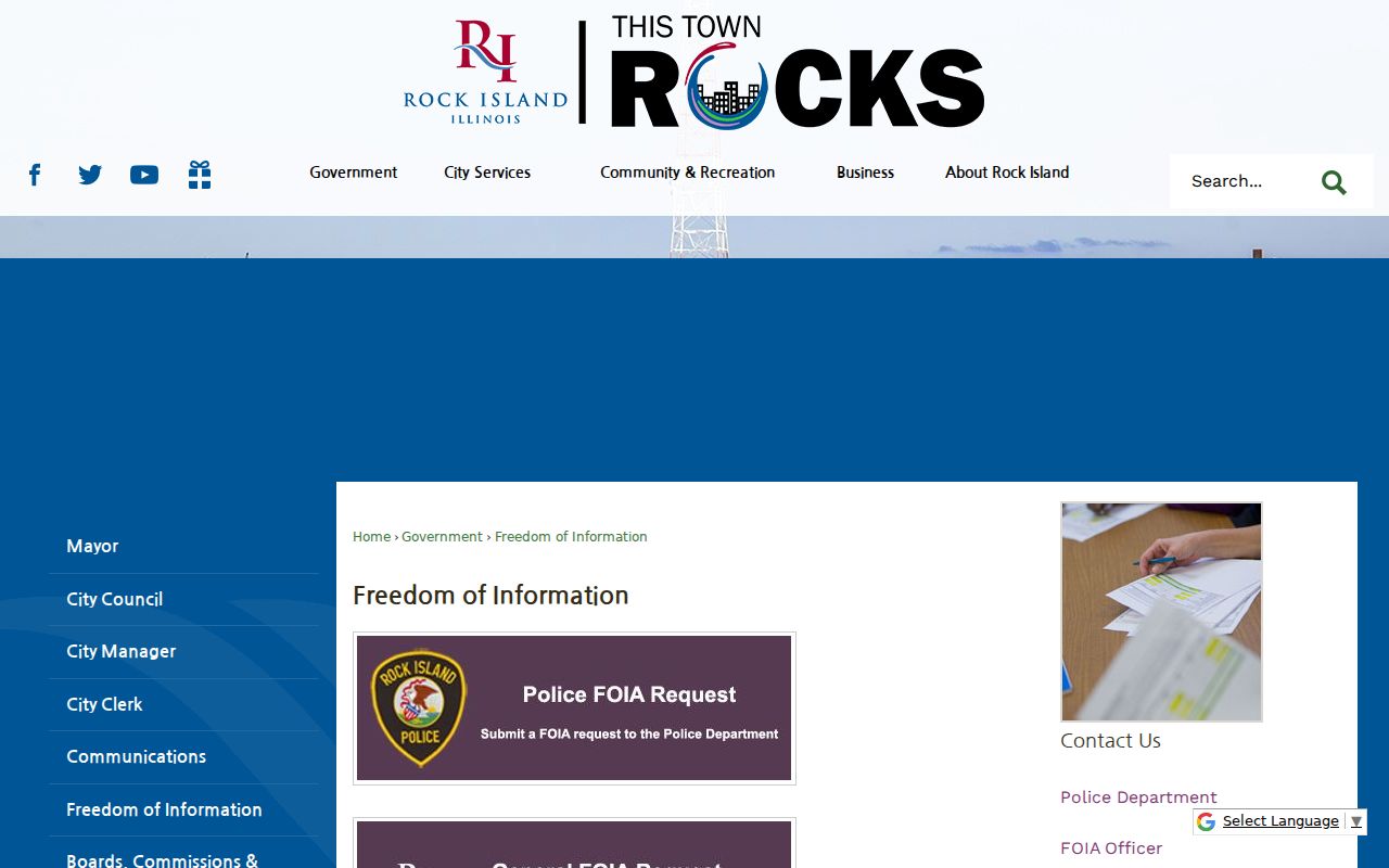
Illinois FOIA generally gives a public body five business days to answer an ordinary written request, with a permitted extension. The first 50 black-and-white letter or legal pages are free, and later pages may cost up to 15 cents each. Ask for a record by subject, address, and date range. Do not ask the city to create a list it does not keep.
Send a Rock Island City Request
The official City Clerk FOIA request form gives block research a direct fallback when an online page is incomplete.
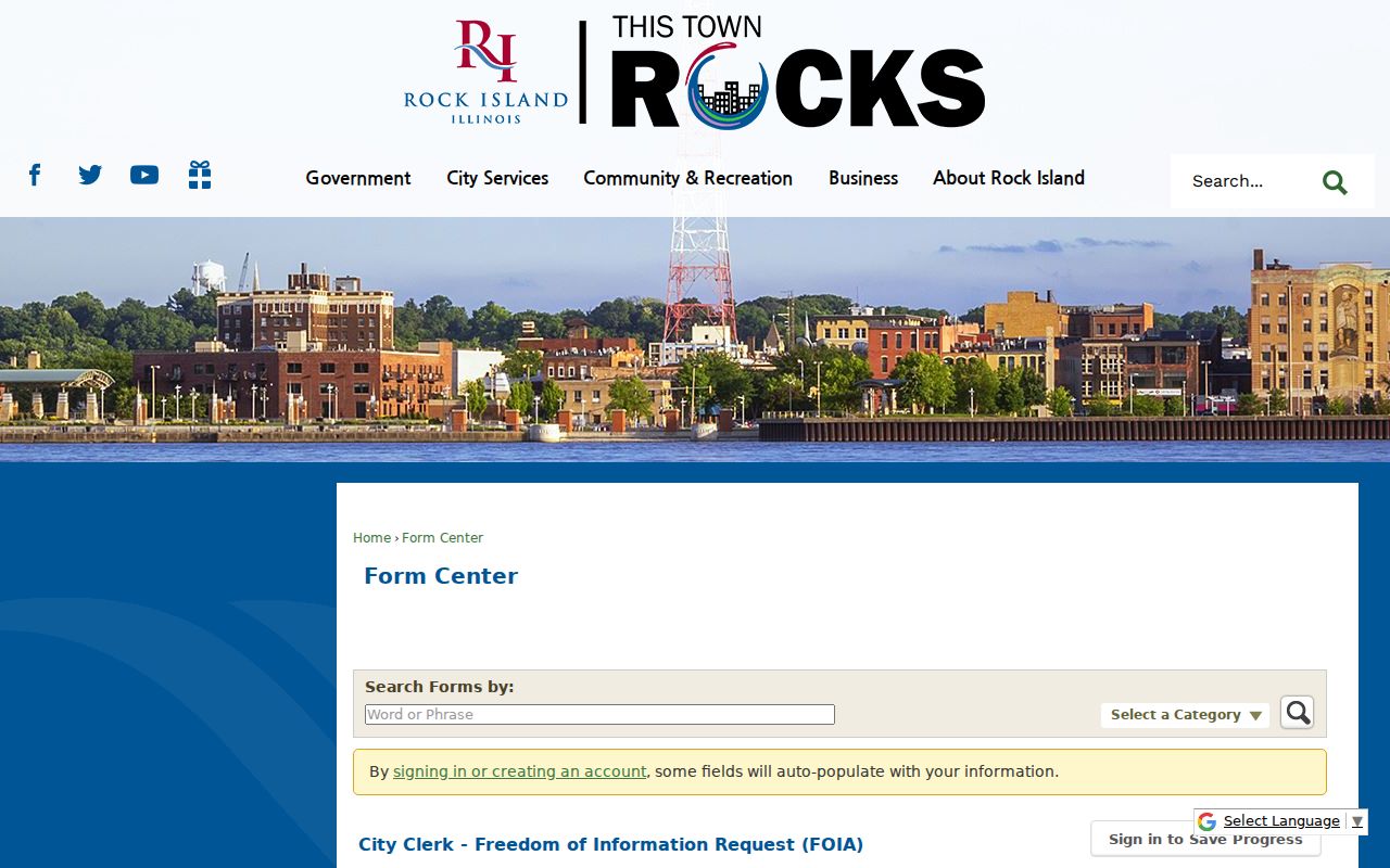
State the record sought, office or program, relevant dates, and street address. Keep the request tied to public civic facts. Household members, utility customer details, delivery data, and confidential addresses do not become public merely because a form was filed.
Official Rock Island Neighbor Sources Win
Commercial neighbor-search products may blend parcel data, old directories, address histories, and marketing files. They can merge names, retain stale addresses, and hide the source date. Official records are narrower, yet their custodian, purpose, and update limits are visible.
| Point of comparison | Official Rock Island sources | Commercial category |
|---|---|---|
| Source identity | Named county, city, library, or state custodian | Often combines many feeds |
| Meaning of a name | Field labels distinguish owner, taxpayer, voter, or historic occupant | Role may be unclear |
| Correction route | Contact the office that keeps the record | Provider-specific opt-out or dispute process |
| Block coverage | Parcel and civic geography, with stated limits | May imply a household list that is not current |
Use the county map for land, the assessor for the tax roll, the city for neighborhood contacts, and the library for historic households. That source-by-source method is slower but far easier to verify.
Protect Privacy When Checking Neighbors
Private household members, many renters, utility customers, mail-delivery data, and protected voter addresses stay outside the public block workflow. Illinois' Address Confidentiality Program can provide a substitute mailing address for eligible survivors of domestic violence, sexual assault, human trafficking, or stalking. It does not erase all old deeds or make every parcel invisible.
When a record is wrong, contact its custodian: the Assessor for assessment data, Recorder for an instrument or index question, City Clerk for city records, and County Clerk for voter files. A portal result cannot alter the source document.
Lawful use. Check Rock Island neighbors for civic awareness, personal safety, or a friendly introduction. Never use public data to watch, intimidate, harass, or harm anyone.